UAE Highway System Overview: How the Emirates Connect
A comprehensive look at the federal road network linking Dubai, Abu Dhabi, Sharjah, and the northern emirates — from E11 to local arterials and toll corridors.
United Arab Emirates · Road Intelligence
Independent guides to the Emirates' fastest corridors, permitted speeds, congestion patterns, and the most beautiful drives from Dubai to the mountains and desert.
Editorial coverage of UAE road networks, speed regulations, traffic load data, and curated scenic routes — written for residents, visitors, and transport analysts.
A comprehensive look at the federal road network linking Dubai, Abu Dhabi, Sharjah, and the northern emirates — from E11 to local arterials and toll corridors.
Urban, highway, and variable speed zones — what the posted limits mean and how enforcement works across emirates.
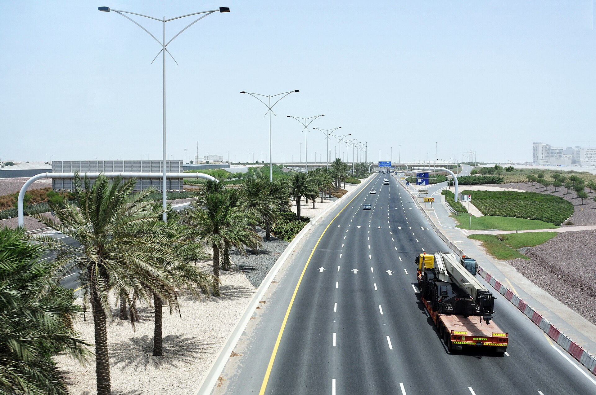
Weekly and seasonal flow trends on the inter-emirate corridor, including peak windows and alternative routing.
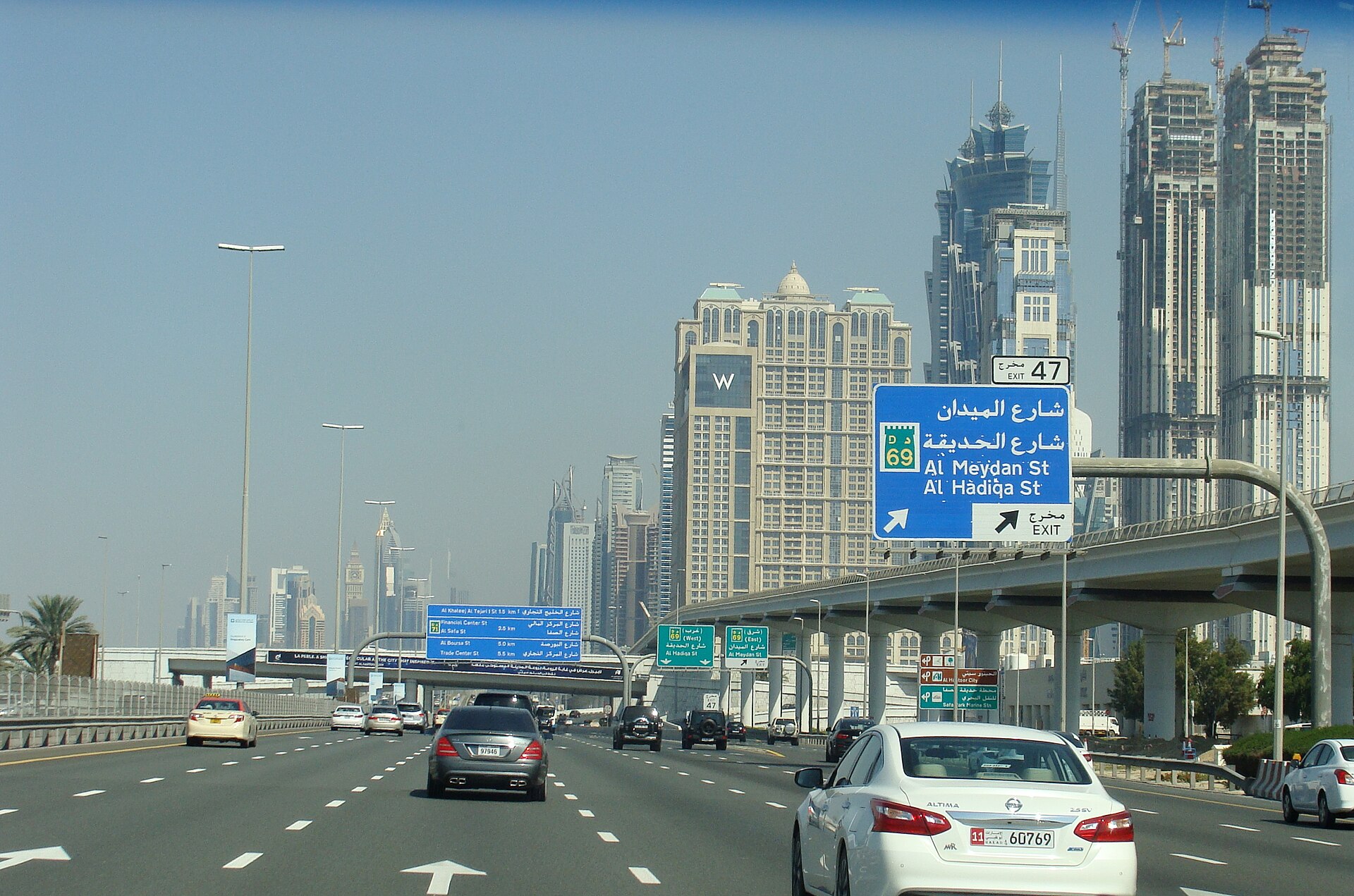
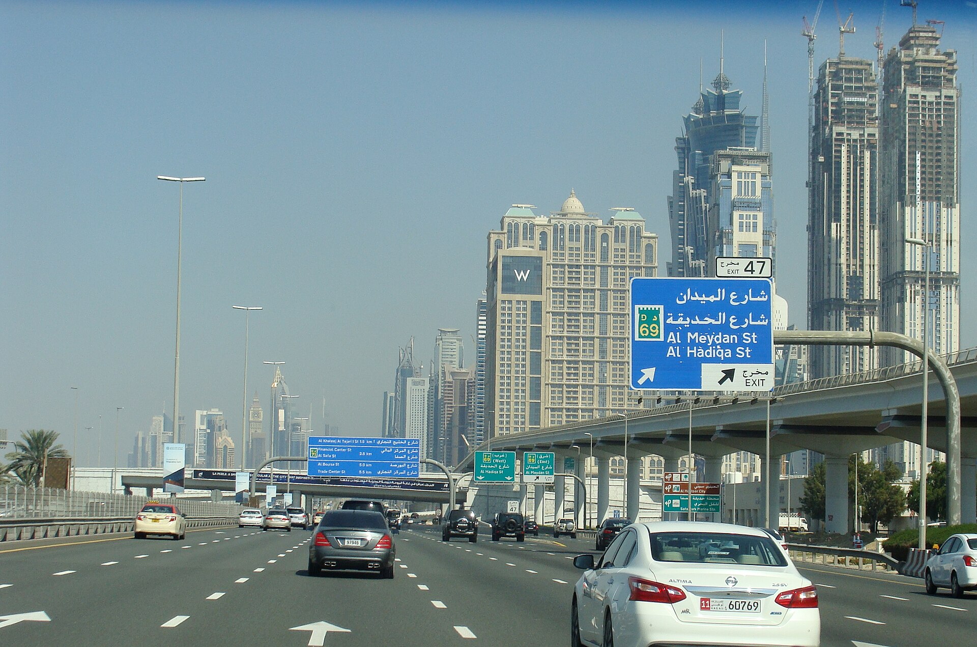
Length, daily vehicle counts, lane configuration, and infrastructure milestones on Dubai's primary artery.
Tracing the country's longest federal route from the Omani border to Ras Al Khaimah — exits, services, and driving conditions.
Peak-hour delay indices, bottleneck hotspots, and how congestion compares between Dubai, Abu Dhabi, and Sharjah.
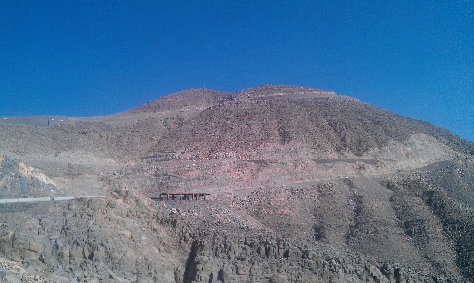
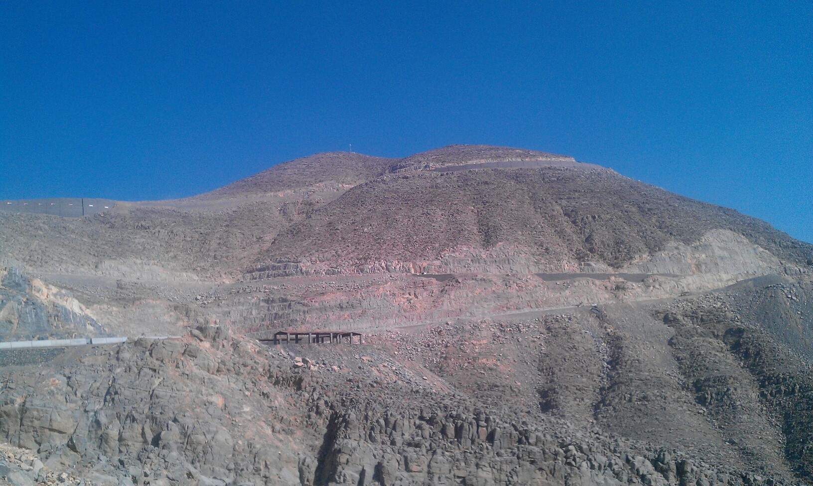
The UAE's highest paved road — elevation, viewpoints, road quality, and what to expect on the ascent from the coast.
A curated loop through the eastern desert — dunes, oases, and quiet tarmac away from the coastal metros.
The United Arab Emirates operates one of the most advanced highway networks in the Middle East. Federal routes like E11 and E311 form the spine of inter-emirate travel, while urban expressways such as Sheikh Zayed Road and Sheikh Mohammed bin Zayed Road carry millions of daily trips through Dubai and Abu Dhabi.
RT Online publishes independent analysis of speed regulations, traffic load patterns, and driving routes — helping you plan smarter journeys whether you commute daily or explore the country by car.