The United Arab Emirates operates one of the most extensive and well-maintained road networks in the Gulf region. Federal highways stitch together seven emirates across desert, coast, and mountain terrain, enabling high-speed travel between Dubai, Abu Dhabi, Sharjah, and beyond. Understanding how these corridors fit together is essential for anyone navigating the country by car.
The federal road framework
UAE highways are designated under a federal numbering system prefixed with "E" for expressway. The Ministry of Energy and Infrastructure, in coordination with emirate-level transport authorities, oversees planning and standards. Major routes are built to accommodate heavy commercial traffic, tourist flows, and daily commuter volumes that have grown substantially since the 1990s.
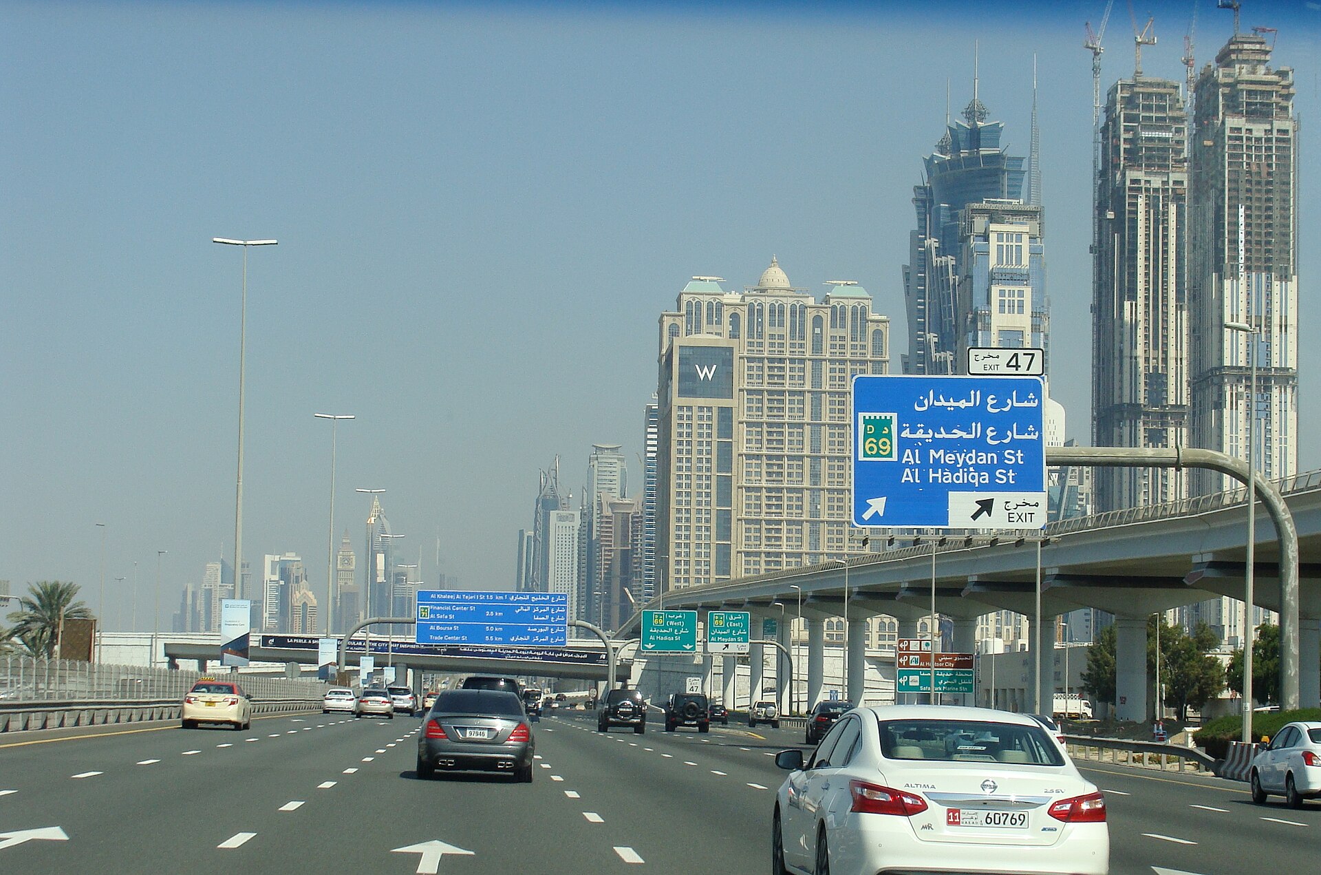
E11 remains the longest and most travelled federal corridor, running roughly parallel to the Arabian Gulf coast from the Omani border through Abu Dhabi, Dubai, and Sharjah to Ras Al Khaimah. E311 (Mohammed bin Zayed Road) provides an inland alternative, reducing pressure on coastal routes during peak periods.
The UAE federal highway system includes more than 1,200 kilometres of paved expressways, with continuous expansion projects underway in Dubai South, Al Dhafra, and the northern emirates.
Dubai and Abu Dhabi corridors
The Dubai–Abu Dhabi axis carries the highest inter-emirate traffic volume. Sheikh Zayed Road (E11 through Dubai) and the parallel E311 offer dual high-capacity options. Between the two cities, the distance is approximately 140 kilometres on the primary route, with posted speed limits typically ranging from 120 to 140 km/h on open highway sections.
Abu Dhabi's internal network includes Sheikh Khalifa bin Zayed Road and the Saadiyat and Yas Island connectors, while Dubai's urban expressways — Al Khail Road, Emirates Road segments, and the Dubai–Al Ain Road (E66) — distribute traffic across metropolitan zones.
Northern emirates connectivity
Sharjah acts as a critical junction where E11, E88, and E102 converge. From Sharjah, E11 continues north through Ajman, Umm Al Quwain, and Ras Al Khaimah. E102 heads east toward Fujairah on the Gulf of Oman coast, crossing the Hajar Mountains through dramatic terrain.
Fujairah's E99 coastal route and the mountain passes represent some of the most scenic — and occasionally challenging — driving in the country, with elevation changes and tighter curves than desert highways.
Toll and smart gate systems
Dubai operates the Salik electronic toll system on major crossings including Sheikh Zayed Road, Al Garhoud Bridge, and Al Maktoum Bridge. Abu Dhabi uses the DARB system on selected gateways. Both operate via RFID tags or prepaid accounts, with no physical toll booths on most corridors.
Drivers should register tags before regular use to avoid fines. Toll amounts are modest but cumulative for daily commuters crossing multiple gates.
Road quality and maintenance
UAE highways consistently rank among the best-maintained in the region. Pavement quality, signage (in Arabic and English), reflective markings, and emergency lay-bys meet international standards. Summer heat demands frequent resurfacing; winter rain — though infrequent — can create hazardous conditions on long desert stretches where water pools before draining.
Variable message signs on major routes display speed adjustments, accident warnings, and fog alerts during seasonal low-visibility events.
Planning trips across emirates
When travelling between emirates, consider time of day, toll routes, and fuel stops. Service stations on E11 and E311 are well spaced, though distances in the western region (Al Dhafra) can exceed 80 kilometres between facilities. Mobile coverage is generally reliable on federal routes, but downloading offline maps remains prudent for mountain and desert segments.
RT Online publishes supplementary guides on speed limits, congestion patterns, and scenic alternatives for drivers who want deeper route intelligence beyond standard navigation apps.