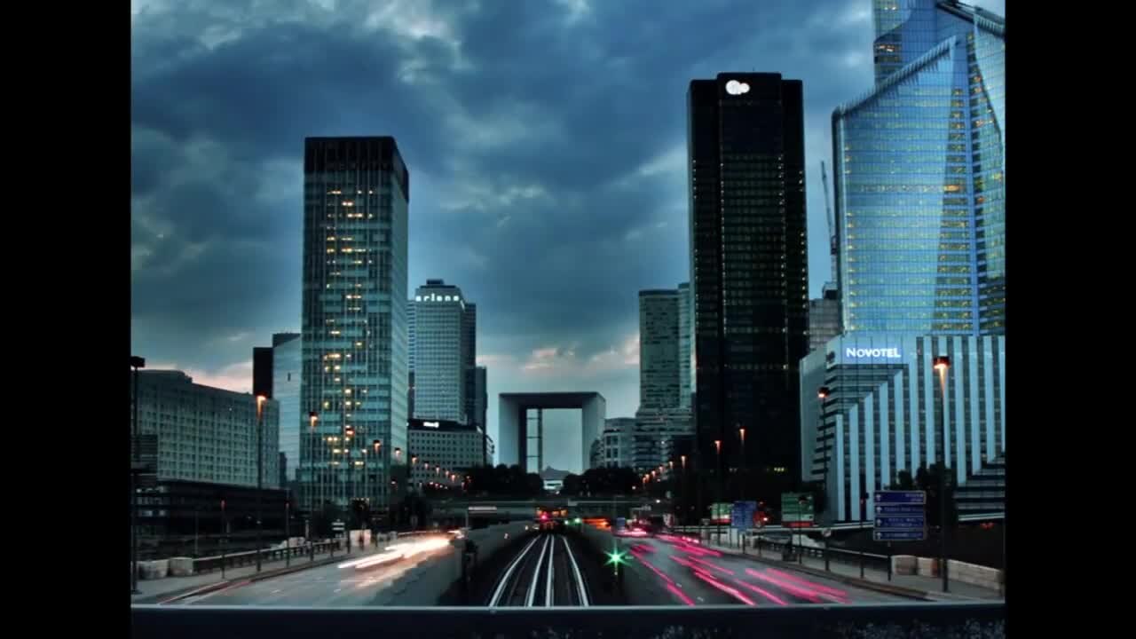
Sheikh Zayed Road is Dubai's defining arterial — a multi-lane expressway that carries E11 through the heart of the city, framed by skyscrapers and major interchanges. As both a commuter corridor and a symbol of urban growth, it supports one of the highest daily vehicle volumes in the Gulf region.
Length and alignment
Within Dubai, Sheikh Zayed Road extends approximately 55 kilometres from the Abu Dhabi border near Jebel Ali through Downtown, Trade Centre, and toward the Sharjah boundary. It forms part of the longer E11 federal route that continues along the entire UAE coast. The road's alignment follows the historic trade route parallel to the coast.
Daily traffic volume
Estimates place daily vehicle counts on central Sheikh Zayed Road sections above 300,000 trips, with the Trade Centre and Marina approaches among the densest segments. Commercial freight from Jebel Ali Port adds heavy vehicle share, particularly during overnight and early-morning hours.
Peak-hour throughput on the Trade Centre interchange can exceed 12,000 vehicles per hour per direction — comparable to major metropolitan freeways in Europe and North America.
Infrastructure milestones
Major expansions occurred in the 2000s and 2010s to accommodate Dubai's rapid growth. The Dubai Metro Red Line runs along much of the corridor, reducing some commuter pressure. Key interchanges — including those serving DIFC, Mall of the Emirates, and Dubai Marina — underwent multi-phase widening projects.
Salik toll integration
Four Salik gates operate on Sheikh Zayed Road: Al Safa, Al Barsha, Al Garhoud (near interchange connections), and Al Mamzar approaches depending on direction. Each crossing deducts a standard toll from registered accounts. Unregistered vehicles accumulate fines processed through vehicle registration systems.
Speed and enforcement
Posted limits vary from 100 to 110 km/h on highway-standard segments, dropping through tunnel and interchange zones. Radar enforcement is dense, with both fixed and mobile units. Average-speed camera sections have been introduced on approaches to reduce tailgating-related collisions.
Future development
Ongoing Dubai 2040 urban master plan projects include additional public transit integration and potential lane management systems. Driverless metro expansion and improved feeder bus networks aim to moderate private vehicle growth on the corridor over the coming decades.
Comparative context
Sheikh Zayed Road ranks among the most photographed urban highways in the Middle East. Its lane capacity exceeds many European city ring roads, yet demand growth has historically outpaced expansion. Comparative studies place Dubai's per-capita motorway access favourably against global peers, though peak-hour experience depends heavily on interchange design rather than raw lane count.
For analysts benchmarking Gulf infrastructure, SZR serves as a reference corridor — combining port logistics, financial district access, tourism gateways, and residential connectivity in a single alignment. Understanding its statistics provides a foundation for evaluating newer developments such as Dubai Creek crossings and Al Khail Road parallel capacity.